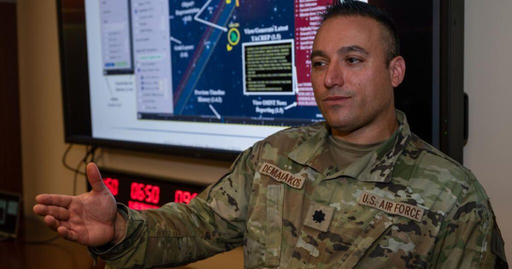
As China and other countries invest heavily in new satellites, the Colorado Air Force Reserve recently received a $2.5 million grant to develop software that will help identify potential threats in space sooner.
Lt. Col. Nicholas Demakakos envisions artificial intelligence software being developed that can combine data about a satellite from various sources with the satellite’s history to help predict how it will behave, said Demakakos, the senior intelligence officer for the Colorado Springs-based 310th Space Wing, the reserve’s only space-focused unit, responsible for missions including missile warning, environmental intelligence, orbital warfare and offensive counterspace.
During his time at the 310th Space Force Base, he lived in South Denver, dividing his time between Peterson, Schriever and Buckley Space Force Bases, and is currently studying military science at the Army War College in Pennsylvania.
Once fully developed, the software, which he has dubbed the Space Target Analysis and Reporting Celestial Information System (STARCIS), will be purpose-built to gather intelligence as the Department of Defense transitions its civilian space traffic control services to the Department of Commerce.
At the same time, China is seeking to supplant the United States as the global leader in space and is investing in directed-energy weapons, electronic warfare and anti-satellite capabilities, Gen. Jeffrey Cruz, director of the Defense Intelligence Agency, said last week.
“[China] “China has relied on America’s excessive reliance on space and intends to put that capability at risk,” Cruz said, according to a Pentagon press release.
Demakakos said the software being developed would help intelligence officers zero in on satellites that could pose a threat and prioritize the use of sensors that are in high demand.
He said he hopes the software will create an environment where “all of these different data sets about one or more objects can be integrated, understood and reported on in a timely manner.” For example, satellite imagery, information about its radio frequencies and other data are collected separately, but the software brings that information together.
He explained that the software is similar to Google Maps, allowing operators to filter data and key in useful information, and also allows analysts to ask basic questions and get answers.
Currently, space operators have to wait up to an hour to receive a report outlining information about their satellites, he said, and the software aims to cut that wait time to 15 minutes or less.
Such reports could help gather information about newly launched satellites, including those launched alongside smaller satellites.
“We find ourselves in a situation where we’re trying to identify each and every object around this large satellite and understand what it is,” he said. The technology could also help monitor suspicious debris and determine whether it is exhibiting potentially threatening behavior.
The grant is the culmination of five years of work, he said, that also included looking across the Defense Department to see if there were other software programs that could meet the requirements. They might have been able to build on one or two existing programs to meet the intelligence needs, but those are managed by other agencies that may not prioritize the development of the programs or may end abruptly.
The Air Force’s Intelligence, Surveillance and Reconnaissance, Modernization, Automation and Development program selected 18 proof-of-concept presentations for funding, including STARCIS.
Under current policy, STARCIS will be managed and funded by the Space Force.
Demakakos plans to work with Prescient Edge to build a prototype by Sept. 30, 2025. Because the company won’t retain any intellectual property rights, it will be able to pay reduced government licensing fees, he said.
He plans to work with Colorado Springs’ Cooperative Commercial Operations to test the prototype.
“We have a good feeling that once we deploy the prototype, the community will see the value in it,” he said.

